
Orchard Park ZIP Code Coverage
ZIP coverage around Orchard Park has one verified core postal area and several regional edge leads. The table separates those labels from legal Town geography. The research did not locate an official address-by-address ZIP boundary table, so the edge rows are not a claim that every address in those postal areas lies in the Town. Check an individual delivery address with USPS and compare it with the county parcel record before assigning a municipality.
| ZIP | Areas | Post Office | Notes |
|---|---|---|---|
| 14127 | Core Orchard Park postal place and central Town addresses | Orchard Park Post Office | Primary local ZIP; USPS materials identify 60 School Street. Verify each address. |
| 14170 | West Falls-associated rural or edge addresses that may reach Town parcels | West Falls postal route | Official regional map association; exact parcel boundary was not located. |
| 14075 | Hamburg-associated edge addresses | Hamburg postal route | A neighboring postal place can differ from the legal Town. |
| 14224 | West Seneca-associated edge addresses | West Seneca postal route | Check USPS delivery and parcel LOCALZIP. |
| 14218 | Lackawanna-associated regional edge addresses | Lackawanna postal route | Map association only, not a definitive Town boundary. |
| 14052 | East Aurora-associated nearby or edge addresses | East Aurora postal route | Appears in regional county ZIP material; Town coverage is unconfirmed. |
The Orchard Park ZIP code directory uses three practical labels: verified core for 14127, official regional lead for the edge ZIPs, and address-level verification required. No Town-specific PO-box-only ZIP, unique institutional ZIP, or verified ZIP split year was located in the official source set.
Verify Orchard Park Postal Delivery
The USPS ZIP Code Lookup controls delivery assignment for one complete address. It is the first check when a postal city label, parcel field, and map layer do not agree. USPS answers a delivery question. It does not establish the legal municipality, title, parcel boundary, ownership, or residency. Save the entered street address and returned city, state, and ZIP with the search date because postal assignments can be more precise than a broad map polygon.
The official USPS address lookup is represented below.
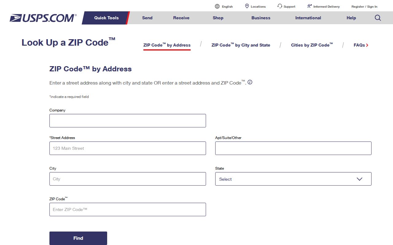
Use the returned delivery ZIP as the postal value, then retain the parcel and municipal results alongside it rather than forcing them into one label.
| USPS lookup input | Type | Use | Limit |
|---|---|---|---|
| Street address | Address text | Checks an exact delivery location | Not a parcel or resident search |
| City and state | Location text | Helps normalize the delivery query | Postal city is not a municipal ruling |
| ZIP lookup | Postal query | Confirms assignment for a complete address | Does not define a Town boundary |
Orchard Park Parcel ZIP Fields
Erie County parcel data keeps the parcel location and owner mailing information in different fields. ADDNUM, ADDNAME, ADDRESS, CITYTOWN, and LOCALZIP describe the situs. MAILAD1, MAILAD2, STREET, CITY, ZIP, and ZIP4 describe the owner or recipient mailing address. An Orchard Park parcel can therefore have an Orchard Park situs and a different mailing city or ZIP without either value being an error.
The Erie County GIS Internet Mapping page links to the public parcel, ZIP, and map layers used for this comparison.
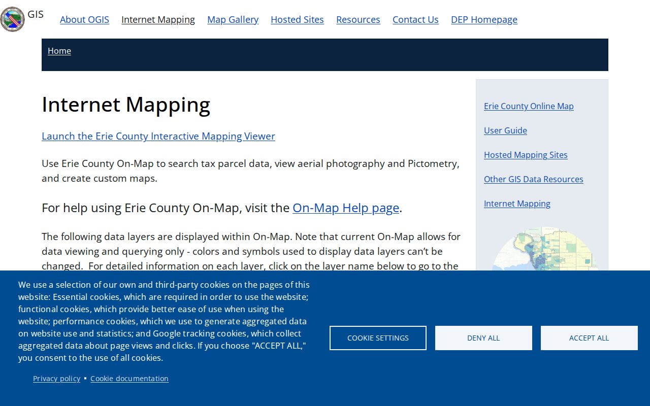
The GIS view is useful for parcel context and layers, but it is not a legal survey and does not prove that an owner or mailing recipient lives at the situs address.
| Delivery ZIP | USPS result for the exact mailing address |
|---|---|
LOCALZIP | County parcel’s situs ZIP field |
Owner ZIP | Mailing ZIP associated with the owner or recipient |
| ZIPCODES layer | Census-based contextual geography in the GIS viewer |
| SBL or PIN | Parcel keys used to keep the geography tied to the correct land record |
Search Orchard Park by ZIP Code
A ZIP code can narrow a geographic question, but the official mechanisms do not produce a verified people list for a postal area. Use the ZIP as one field in a documented record sequence. The county parcel system may return parcels with a situs or owner-mailing ZIP. The Board of Elections FOIL form uses town, ward, and district rather than a public ZIP name search. Clerk BrowserView uses Town, party, document, date, and parcel-oriented fields rather than ZIP-wide results.
- Confirm the full delivery address with USPS, including the postal city and ZIP.
- Open the parcel in Erie County On-Map and save the situs address,
LOCALZIP, SBL or PIN, municipal field, and data date. - Compare the owner mailing ZIP with the situs ZIP without merging the two. A mailing result describes a recipient relationship, not an occupant.
- For an existing election record, make a narrow Erie Board of Elections FOIL request with the relevant town, ward, district, year, requested field, and format.
- When a parcel question narrows to a road or a precise address, use the Orchard Park Street Directory for the address-to-parcel and deed sequence.
Record the source year and relationship for every result. A parcel result can answer which land has a ZIP field; it cannot stand in for everyone who receives mail in that ZIP.
Orchard Park ZIP Map Layers
On-Map includes a Census ZIPCODES layer alongside parcels, roads, schools, legislative districts, water, wetlands, flood data, agricultural districts, and soils. Those layers are useful for seeing why a mailing label and a municipal boundary may not line up. They have different purposes. A school district, election district, flood area, or census geography should never be treated as a substitute for a delivery assignment.
County GIS is the practical mapping source for parcel and address layers, while the Town Assessor is the local assessment contact. USPS controls delivery assignment and the Board of Elections controls precinct geography. The research found no single Orchard Park office that publishes a unified address master. Use the appropriate custodian for the question instead of asking one geography to answer all of them.
Note: The parcel viewer can create a report through its Parcel Viewer or Reporter path, while a lightweight map view may omit report controls or some layers.
Orchard Park ZIP Code Boundaries
ZIP code boundaries and Town limits solve different problems. USPS assigns mail delivery. The county parcel, Assessor, and Town records answer whether land is in the Town of Orchard Park. Census ZCTAs are statistical approximations, not exact delivery boundaries. A Town parcel may use a neighboring postal city, and a postal association with Orchard Park may include addresses outside the Town. The complete address, not a map label alone, decides which delivery ZIP applies.
- ZIP Code
- A postal delivery code assigned by USPS to an address or delivery area. It is not a municipal boundary.
- ZIP+4
- An added four-digit delivery detail used with a ZIP Code. It does not change the Town or parcel jurisdiction.
- PO-box ZIP
- A ZIP used for post-office box delivery. No Orchard Park-specific PO-box-only ZIP was verified in the source set.
- Unique ZIP
- A ZIP assigned to one institution or organization. No unique Orchard Park ZIP was verified in the source set.
- Carrier route
- A mail-delivery grouping used by USPS. It is not a resident register or legal boundary.
Boundary check. Treat 14127 as the verified core postal area. Treat 14170, 14075, 14224, 14218, and 14052 as regional leads until USPS and the parcel record confirm a particular address.
Limits of the ZIP Code Directory
The Orchard Park ZIP code directory cannot verify who receives mail at every address in a ZIP. The Erie County Clerk has no verified ZIP-wide people-return mechanism, and BrowserView is not a street-address search. A county parcel query may return situs or owner-mailing matches, but it does not establish occupancy. A Board of Elections request is governed by New York Election Law restrictions and protected registrations may be withheld or use a substitute address.
New York FOIL, Public Officers Law Article 6 §§84–90, gives access to existing agency records subject to exemptions. It does not require an agency to create a compiled ZIP-based resident dossier. Ask for a defined existing record, geography, date range, field, and output format. The official custodian can explain access, redaction, and copy options for the record requested.
When an online result is incomplete, follow the agency that keeps the needed layer. USPS resolves delivery. Erie GIS and the Town Assessor resolve the parcel and municipal context. The County Clerk can search a recorded party, document, Town, date, book/page, or parcel reference after the parcel key is known. The Board of Elections accepts its separate FOIL route for a narrowly described existing election record. Those channels can corroborate a dated association, but none is a complete ZIP-wide directory of current occupants.
Historic Orchard Park Postal Labels
Historic address work should not be filtered by a modern ZIP alone. Early records may use Hamburg, East Hamburg, East Hamburgh, or Orchard Park, and older directories predate the present postal framework. The village was known as Orchard Park in 1882, formally acquired that name in 1921, and the Town was renamed in 1934. A dated directory, map, or legal description may therefore carry a historically correct place label that differs from a current parcel display.
For a historical address, use the year and source spelling first, then connect it to a period map, directory, deed legal description, or Assessor assistance. A modern ZIP is useful for current delivery verification, but it should not be projected backward as proof of an older address label.
Note: No official ZIP split, realignment date, comprehensive readdressing project, or address-by-address Orchard Park ZIP table was located in the source research.