
Orchard Park Neighbors by Block
Public sources describe a block in layers. The parcel map identifies land boundaries and parcel keys. The assessment result can display owner and mailing fields. Recorded instruments supply legal parties and dates. A Board of Elections request can be narrowed by election geography, while the Town's organization listing supplies public group contacts. Each source answers a different question about Orchard Park neighbors, and none should be converted into a list of every person at a nearby address.
| Source | What It Shows About a Block | Access |
|---|---|---|
| Erie County On-Map | Selected parcel, adjacent parcels, SBL or PIN, situs, owner, mailing, and map layers | Free viewer; map context only, not a legal survey |
| Erie County Clerk BrowserView | Recorded parties, instruments, dates, book and page, legal lines, and document status | Search by party, document, town, date, or parcel key, not street address |
| Erie County Board of Elections FOIL request | Existing registration fields by a stated town, ward, district, year, and format | No stable public local name lookup; restrictions and redactions apply |
| Town community-group listings | Public organization contacts and local civic leads | Organization contact is not a member or address record |
| Property Alert | Later recorded filing match for an exact SBL or exact party name | Free account; monitoring only, not an occupancy source |
The key distinction is owner versus occupant. An owner may receive mail elsewhere, a parcel can have a trust or business owner, and a nearby polygon only proves adjacency. Label the result as owner, mailing recipient, recorded party, organization contact, or occupant unknown. That simple separation makes an Orchard Park neighbor lookup more accurate and less intrusive.
Orchard Park Neighbor Map Sequence
The county's map supports a reproducible adjacent-parcel method. Search the starting address, zoom to the selected parcel, and inspect the parcels immediately beside it. Save the SBL or PIN for each result before looking at any recorded document. No radius or buffer tool was confirmed in the official source review, so map browsing and parcel selection are the supported way to examine a nearby block.
- Open Erie County On-Map and search the complete street address. Confirm the parcel situs and municipality before saving the result.
- Select the target parcel, then select the parcels that touch it or lie immediately across the road. Record each SBL or PIN exactly as displayed.
- For each selected parcel, preserve the owner and mailing fields in separate notes. Add the map or roll date and do not treat either field as proof of occupancy.
- Use the SBL, book and page, instrument number, or party name in BrowserView to inspect the recorded title trail. Keep the recorded party and date with that instrument.
- Stop at the source-level relationship if a record is withheld or the map displays a protected or substitute address. Adjacent parcels do not show a social or family connection.
For a full named-street chain, follow the Orchard Park Street Directory. That address-focused route covers the longer parcel and deed sequence without turning the immediate-block method into a streetwide list.
Orchard Park Neighbor Parcel Fields
On-Map and the county parcel schema distinguish situs fields from owner-mailing fields. Useful situs fields include address, city or town, and LOCALZIP. Owner and mailing fields can include OWNER1, OWNER2, MAILAD1, MAILAD2, street, city, ZIP, and ZIP4. The county's SBL is the section, block, and lot identifier; the PIN is the longer county-wide key. Preserve the source spelling and punctuation because the same parcel number can display differently across the map, PDF, and Clerk system.
- Situs
- The location assigned to the parcel. It identifies the land location, not necessarily the current person living there.
- Mailing field
- The address used for an owner or recipient. It can be in another city or identify an agent, company, or former owner.
- SBL or PIN
- The parcel identifier used to connect the map, assessment record, and title research. Keep it as shown by the official source.
- Book and page
- A recorded-document reference that can bridge a parcel result to the County Clerk's legal records.
The Erie County On-Map parcel viewer shows how parcel selection and map layers provide the starting context for Orchard Park neighbors research.
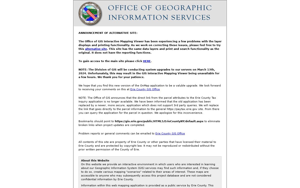
Use the map result to document an SBL or PIN and nearby parcel relationship, then confirm a legal-party question in the Clerk records instead of relying on the map alone.
On-Map includes parcel, aerial, ZIP, school, legislative, water, wetland, floodplain, agricultural, and soil layers. These layers are useful context, but the County's GIS guidance does not make the viewer a legal survey or promise a fixed update date. Current parcel data can lag a recently recorded deed.
Orchard Park Neighbor Deed Checks
BrowserView is the official bridge from a parcel key to recorded land documents. Its documented fields include party name, document type, town, date range, instrument number, book and page, map number, parcel ID, district, and legal-description fields. Results can show record type, recording date and time, book and page, consideration, map or parcel data, direct or indirect party, notes, and linked document status. The Clerk does not provide an official property-address search, so a parcel result supplies the needed bridge.
Erie County Property Alert is a free monitoring option for an exact SBL or exact party name. It can flag a later recorded filing after a parcel and deed snapshot. Clerk verification normally takes 5 to 7 business days. Alerts can miss documents that do not match the registered SBL or name, do not prevent fraud, and do not establish a current resident.
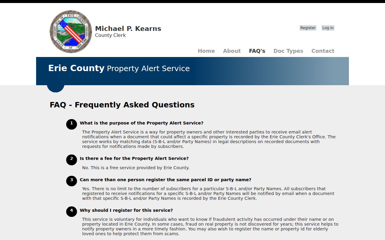
An alert is best kept as a prompt to inspect the matching instrument through the Clerk, with its recording date, named party, and legal relationship recorded separately.
Orchard Park Neighbor Group Contacts
The Town's public community-group listing gives a community layer that parcel records cannot provide. It names groups such as the Orchard Park Lions Club, Odd Fellows Lodge 187, the Western New York Southtowns Scenic Byway, the Chamber of Commerce, the Village, schools, and American Legion Post 567. These are public organization contacts. They are not evidence that a person lives nearby, belongs to the group, or has a public personal address. No official HOA or neighborhood-association roster, block-captain list, or searchable membership database was located.
| Public Group Lead | Listed Public Contact or Context | What It Does Not Prove |
|---|---|---|
| Orchard Park Lions Club | Town listing gives a PO Box 61 contact in Orchard Park | Individual membership or a member's address |
| Odd Fellows Lodge 187 | Town listing gives PO Box 168 and a second and fourth Wednesday meeting at Emanuel UCC | Who attends a meeting or lives on a block |
| American Legion Post 567 | Public organization contact at 5784 Ellis Road with listed phone number | Member roster or residential relationship |
| Southtowns Scenic Byway and Chamber | Regional civic and business contacts tied to the Orchard Park, East Aurora, and Springville area | Current participation or neighborhood boundary |
The Orchard Park Planning Department provides a separate official route for public application, owner-authorization, and meeting-document questions. Planning packets can identify an applicant, agent, owner authorization, consultant, or meeting date, but those roles should remain labeled as such.
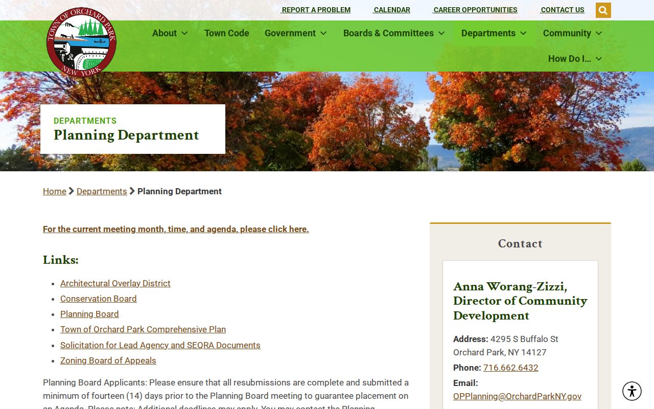
Use a planning packet to understand a dated public project or authorization, not to infer a private membership list or a current household.
Orchard Park Neighbor Sources Compared
Official records are tied to a custodian, a field set, and a date. Commercial neighbor-lookup tools may combine fragments from many sources, but the combination can blur an owner, mailing recipient, old directory entry, or court party into an unsupported claim. For Orchard Park neighbors research, the official route makes it possible to preserve the underlying relationship and return to the custodian when a record changes.
| Official Record Route | Commercial Neighbor-Lookup Category | Practical Difference |
|---|---|---|
| On-Map parcel report | Combined address profile | The official record identifies parcel fields and data vintage; a combined profile may obscure the source relationship |
| BrowserView instrument | Summary of names and addresses | The instrument preserves party role, recording date, and legal description |
| Board of Elections FOIL response | Broad geographic list | The official request follows Election Law limits, redactions, and stated geography |
| Town public organization listing | Community association claim | The Town lists a public group contact, not a personal roster or neighborhood boundary |
Do not let a ZIP, school layer, road corridor, or parcel boundary become a claimed neighborhood boundary. The research found no official Orchard Park neighborhood-boundary directory. The Western New York Southtowns Scenic Byway can explain regional ties among Orchard Park, East Aurora, and Springville, but it is not a block roster.
Orchard Park Neighbor Voter Requests
The Erie County Board of Elections route is a written FOIL request, not a public name lookup. The form supports a narrow town, ward, or district; stated fields; party selection; sort order; and formats such as paper, Access, Excel, DBF, or CSV. Those geographies are election units. They do not duplicate a parcel line, a street, or a postal ZIP, and no source supports building a voter list from parcel owners.
Election Law sections 3-103(5) and 3-220 limit voter-data access, while confidential registration under section 5-508 protects qualifying records. A request can be limited to the existing record, date range, and geography that answer the civic question. Protected records and sensitive identifiers must be withheld or redacted. Use the official Erie County FOIL form rather than an unofficial name-search service.
For a historic block question, the Grosvenor Room holds Erie County voter-registration directories arranged by town for 1926 through 1971. Pair a dated directory or voter source with a map and deed context, then state the year and source relationship. A historical listing does not demonstrate who lives at the address now.
Note: The Town's FOIL route acknowledges requests under New York's records law, but another custodian may hold the record needed for a block question.
Orchard Park Neighbor Privacy
New York FOIL, Public Officers Law Article 6 sections 84 through 90, opens existing agency records subject to exemptions. It does not create a right to a compiled map of people around an address. The New York Address Confidentiality Program can provide a substitute mailing address for eligible participants, and confidential voter registration is protected. An Albany substitute address or withheld field must not be converted into a guessed physical address.
DMV personal information is restricted by the federal DPPA, and court or vital records may be sealed or otherwise limited. Public map fields should be minimized to the question being researched: source, date, SBL or PIN, parcel relationship, and recorded party role. Do not publish exact birth dates, identification numbers, private contact information, or an inferred current address.
A correction belongs with the source custodian: the Assessor for parcel data, the Erie County Clerk for recording or index issues, the Board of Elections for voter records, and the Town office for a Town-held record. Preserving the source and date keeps the block record useful without overstating what it proves.