
Orchard Park Previous Residents Sources
One address has several time layers. The strongest starting path is address to parcel, parcel to owner and SBL or book and page, then owner or document key to the Erie County Clerk. That matters because the Clerk's official-record index is not searchable by street address. Directories, voter lists, newspapers, maps, and permits can add people who were previously associated with the address in a stated source and year. They should not be relabeled as occupants unless the source expressly supports that relationship.
| Source | Years It Covers | Where Held | What It Shows |
|---|---|---|---|
| Erie County deed records | 1808-present; online index from 1986, images from 1960 | Erie County Clerk and BrowserView | Recorded parties, dates, legal lines, book and page, and image status |
| Erie County mortgage records | 1840-present; online index from 1986, images from 1980 | Erie County Clerk | Recorded financing parties and dated legal-record context |
| Reverse and criss-cross directories | 1883-present, selected runs | B&ECPL Grosvenor Room | Address-to-name or subscriber clues, with series gaps |
| Erie County voter directories | 1926-1971 | Grosvenor Room | Town-arranged historical enrollment |
| Historic maps and atlases | Orchard Park 1920; Dewell's Corners 1928 and 1928-1938 | Library of Congress and B&ECPL | Street and building context, not an occupant list |
| Town building and planning records | Date-specific records; no public history search screen | Town Building Department and Planning Department | Applications, permits, inspections, owner authorizations, or meeting context |
Begin with the era that is known. A recent transfer can start in BrowserView after the parcel bridge. A mid-century address may be best approached through a reverse directory or voter directory, then checked against the deed chain. For an older building, maps and the legal description can keep a modern street number from being projected backward without evidence. The record trail can identify a source relationship, but no single source creates a complete list of past residents.
Defining Earlier Address Links
Use careful language throughout a house-history search. Say a person was previously associated with an address in a named source and year unless that source explicitly says the person lived there. A deed usually records parties to a transaction. A parcel card identifies an owner and may show a mailing address. A permit can name an applicant, agent, contractor, or owner. A directory might list a home, office, boarding place, business, or subscriber address. Those relationships can overlap, but they are not interchangeable.
This boundary is especially important in Orchard Park because the Town, the Village of Orchard Park, Erie County, and the state each hold different kinds of records. A parcel owner may live elsewhere, a mailing city can differ from the situs, and a historical regional directory may use East Aurora or East Hamburgh in its title. Preserve the source date and exact jurisdiction. That method keeps a promising lead useful without turning a transaction or mailing field into an unsupported residence claim.
Orchard Park Address Record Bridge
First normalize the situs address: number, directional, street name, suffix, municipality, and ZIP. Then use the Town's assessment route or Erie County On-Map to capture the SBL, PIN, property location, owner, mailing address, deed date, book and page, municipality, and the roll or data date. The county GIS separates situs fields from owner-mailing fields. Keep them in separate columns. A mailbox address, company, trust, agent, or former owner can appear in the mailing side.
That parcel result provides the bridge to the Clerk. Erie County Clerk BrowserView can be searched by party name, book and page, instrument number, parcel or map number, date range, and legal-description fields. It does not accept a street-address search as the central route. When only the house address is known, the parcel SBL or book and page is more reliable than trying to force the modern address into an historic document index.
The B&ECPL genealogy page is a useful companion when the parcel trail reaches a historic surname, date, or town spelling.
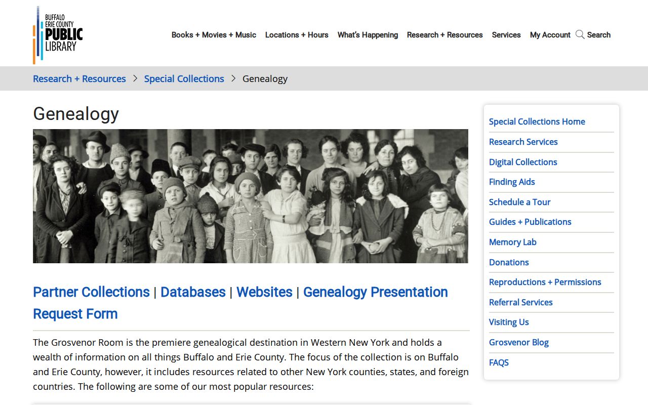
The library route adds directories, historical indexes, newspapers, maps, church and cemetery material, and yearbooks to the address trail. It supports a dated household inquiry rather than a guess about every person who may have lived at a property.
Tracing Orchard Park Previous Owners
The backward chain begins with the current parcel information and proceeds from a recorded transfer to the prior transfer. The key move is to treat the seller on one deed as a possible grantee on an earlier deed, then repeat the search with the source date and legal description in view. Deeds are held from 1808 to the present, but the online index begins in 1986 and deed images begin in 1960. Earlier work may require the Graves Index, public terminals, staff help, or a document request.
- Capture the current parcel's SBL or PIN, situs, owner field, deed date, book and page, municipality, and roll date.
- Open the current transfer in BrowserView by party name, book and page, instrument number, or another parcel-linked key.
- Record the grantor, grantee, recording date, legal-description line, instrument number, and linked-document or image status.
- Search the seller as a possible grantee on the earlier acquisition, checking spelling variants and the same legal-description context.
- Repeat backward until the online cutoff, then use the Clerk's public terminal, Graves Index, counter, mail request, or staff channel for older material.
- Grantor / grantee
- The grantor transfers an interest in the recorded document. The grantee receives that stated interest.
- Chain of title
- A chronological sequence of recorded transfers tied together by parties, dates, and the same property description.
- Legal description
- The recorded property wording, book reference, map reference, or parcel detail that can outlast a changed street label.
- Criss-cross directory
- A reverse-address directory section that can give a dated name clue for a known street or address.
- Enumeration district
- The geographic area used to organize a census schedule, useful only after the period address and geography are reconciled.
Orchard Park Deed Image Limits
BrowserView results can show record type, instrument, recording date and time, book and page, page count, consideration, map or parcel data, legal lines, town, party role, notes, and linked-document status. Images can require a login or be unavailable. Treat a no-image status as an access barrier, not evidence that the record does not exist. The Clerk's public terminals, counter, mail request, and historical indexes are the documented next channels when online access stops.
The Erie County Clerk is at 92 Franklin Street, Buffalo, NY 14202. For a request, give the exact document type if known, party spelling, Town or Village context, date range, and instrument or book and page when available. A narrow request helps staff locate an existing record. Under New York FOIL, Public Officers Law Article 6 §§84-90, an agency is not required to create a new compiled history, and access can still be limited by exemptions or record restrictions.
The Erie County Clerk legacy records page links historical search routes and BrowserView options during a software transition.
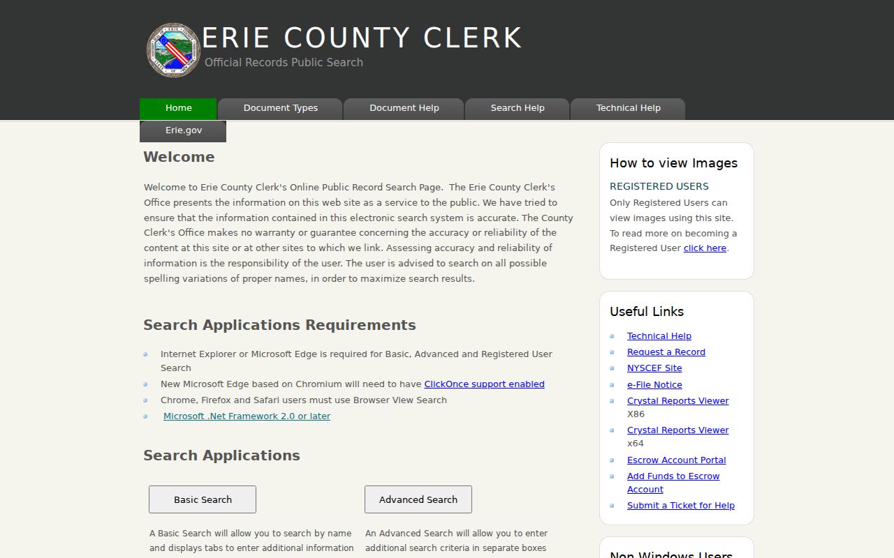
Check the live interface and its image access before relying on an old search instruction. The County's 2024-2026 transition materials describe changing systems, so record the date that a search route was inspected.
Orchard Park Past Households
Ownership is only one part of who lived here before. The documented address tools include the Buffalo City Directory reverse section from 1929 forward, Buffalo Address Books with a reverse section for 1883-1916, the Courier Express reverse phone directory for 1931, and the Erie County-wide Haines Directory from 1968 forward. Erie County voter directories for 1926-1971 are arranged by town. Each can be a dated household lead, but each has its own inclusion rule and gaps.
Read an entry for the name, spouse or widow notation, occupation, employer or office, home marker, street, address, and page. Confirm whether the entry refers to a home, business, boarder, office, or phone subscriber. The Orchard Park city directory guide explains the collection runs and how to read the volumes. Use the entry as one layer in an address timeline rather than as a full reconstruction of the household.
Orchard Park Directory Census Pairing
A directory year can anchor a household search between released federal censuses. The census has a 72-year release rule, so it will not fill every recent gap. Pair the closest available census with the directory or voter year, then compare the source's address wording and family structure. A mismatch can reflect an address change, a source boundary, a publishing gap, or a different relationship rather than a simple error.
- Start with the directory, voter directory, or phone source that names the address and year.
- Find the nearest released census and identify the correct town, village, or historical place-name context.
- Use the period street name, legal description, map sheet, or nearby landmark to reconcile address wording.
- Compare only the facts each source actually gives, such as names, family relationship, age, place, or listed address.
- Use newspapers, deeds, and maps around the interval to explain a change, and mark any unresolved gap instead of filling it by inference.
Newspaper holdings provide a useful endpoint check. B&ECPL lists the Buffalo Evening News from 1881 to the present and the Courier Express from 1926 to 1982. An obituary or notice should retain its issue date, page, and wording about residence, former residence, family relationship, or service location. No single official Orchard Park obituary index was located.
Names Before Orchard Park
Historic names can make a continuous address trail look broken. The area was once within the Town of Hamburg; after the 1850 split, the eastern portion became Ellicott and then East Hamburg or East Hamburgh. The village was known as Orchard Park in 1882, formally acquired that name in 1921, and the Town was renamed Orchard Park in 1934. Search those names in the period's directories, deeds, voter directories, and newspapers before treating a missing modern name as a dead end.
Historic entries may also use a station, farm, depot, or crossroads rather than a house number. Windom, Orchard Park station, Dewell's Corners, and agricultural references can be geographic clues. They need a map, legal description, or dated source before they can be tied to a modern address. No official comprehensive street-renumbering crosswalk was located, so a modern map pin should not substitute for evidence from the period.
Orchard Park Permit History
The September 1920 three-sheet Orchard Park map at the Library of Congress and the Dewell's Corners Sanborn material for 1928 and 1928-1938 can date a street or building context. Maps can show how a place was described in its own era. They do not identify a household. Use them beside a directory, deed legal line, parcel record, or newspaper notice, and preserve the map sheet with the date.
Town building records are another dated layer. Applications, plans, permits, certificates of occupancy, stop-work orders, operating permits, inspections, complaints, investigations, and fees are identified as permanent public-inspection categories, but no public permit-history screen was located. Ask the Building Department by exact situs, permit or application type, and date range. Planning packets can also identify an owner authorization, applicant, agent, or meeting date. Request only the existing records needed, and expect redaction where private details appear.
Orchard Park Previous Residents Limits
Records can be incomplete, delayed, restricted, or held by another custodian. A blank deed field is not proof that no deed exists. A current parcel card can lag a later recording. A directory gap does not prove a household left, and a map does not prove occupancy. The responsible result is often a source-level statement: not indexed online, image restricted, not held by this custodian, searchable only at a public terminal, or no match found in a named source and year.
Lawful use. Use previous-resident research for family history, house history, estate questions, and personal curiosity. Do not use a record trail to harass, monitor, or target a living person; New York Penal Law §120.45 addresses intentional targeted conduct that includes unauthorized tracking.
Protected or restricted information remains protected even when related records are public. New York's address-confidentiality program, confidential voter registration, vital-record limits, sealed files, and the federal DPPA all set boundaries. Keep the smallest useful source, date, and relationship field. If a requested record is missing or restricted, follow the custodian's official route rather than attempting to infer the hidden information from nearby sources.